

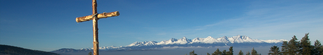
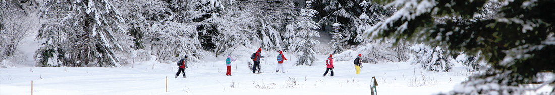

Educational trails allow visitors to explore the beauties and natural treasures of the area without the presence of an experienced guide. In Slovak Paradise National Park and its protected zone, there have been 13 educational trails with a total length of almost 89 km built so far.
Difficulty of terrain
 easy
easy moderate
 strenuous
Prielom Hornádu
| difficulty | stops | number of panels | trail length | elevation change | time of passage |
 |
16 | 19 | 22 km | 136 m | 7:00 |
Route: Hrdlo Hornádu - Letanovský mlyn - Lesnica - Čingov - Ďurkovec - Tomášovský výhľad - Trstený potok - Hrdlo Hornádu
Theme: orientation, fauna and flora, forest, geomorphology, watercourses, history, paleontological and archaeological sites, gorge
Educational trail of the youth
| difficulty | stops | number of panels | trail length | elevation change | time of passage |
| 6 | 6 | 7 km | 120 m | 2:00 |
Route: Smižany, Maša - Hradisko - Čingov - Pod Sovou skalou - Zelená lávka - Smižany, Maša
Theme: orientation, geology, archeology, meadow, forest, water, birds
Slovenský raj - juh
| difficulty | stops | number of panels | trail length | elevation change | time of passage |
|
6 | 9 | 9,7 km | 368 m | 3:00 |
Route: Dedinky - Biele Vody - Zejmarská roklina - Geravy - Malé Zajfy - Stratená píla - Dedinky
Theme: orientation, gorge, plateau, valley, karst features, fauna, flora, lake
Wetlands of Hnilec
| difficulty | stops | number of panels | trail length | elevation change | time of passage |
| 8 | 10 | 0,5 km | 15 m | 0:15 |
Route: Dobšinská Ľadová Jaskyňa parkovisko - železničná stanica
Theme: orientation, wetlands, flora and fauna of watercourses
Občasný prameň
| difficulty | stops | number of panels | trail length | elevation change | time of passage |
|
7 | 7 | 2,5 km | 300 m | 1:00 |
Route: Veľké Zajfy - Občasný prameň - Havrania skala
Theme: orientation, woody plants in forest, charcoal production, flora, fauna, Dionýz Štúr personality
Dobšinská ľadová jaskyňa
| difficulty | stops | number of panels | trail length | elevation change | time of passage |
| 6 | 6 | 0,47 km | 130 m | 0:45 |
Route: Dobšinská Ľadová Jaskyňa parkovisko / parking / parking - Vilmoš plac - Dobšinská ľadová jaskyňa
Theme: orientation, natural, cultural and historical values of the cave and surroundings
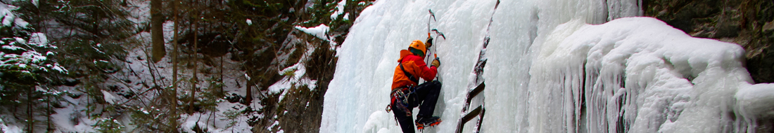
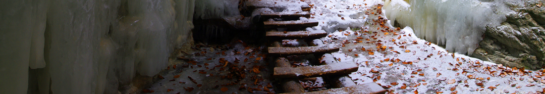
Stratenský kaňon
| difficulty | stops | number of panels | trail length | elevation change | time of passage |
 |
9 | 10 | 1,5 km | 15 m | 0:30 |
Route: Stratenský kaňon
Theme: orientation, geology, formation of gorges, caves, flora and fauna, history
Vernár – Kráľova hoľa
| difficulty | stops | number of panels | trail length | elevation change | time of passage |
| 9 | 10 | 13 km | 1 170 m | 5:30 |
Route: Vernár - Predná hoľa - Kráľova hoľa
Theme: orientation, flora, fauna, pasturage, geology, reserve, history, hunting
Dobšinská Maša
| difficulty | stops | number of panels | trail length | elevation change | time of passage |
| 7 | 7 | 2,7 km | 120 m | 1:30 |
Route: Dobšinská Maša - Dobšinský kopec - Dobšinská Maša
Theme: orientation, forestry, hunting, protection of nature, lake
Forest educational trail Novoveská Huta
| difficulty | stops | number of panels | trail length | elevation change | time of passage |
| 8 | 0 | 2,6 km | 150 m | 1:30 |
Route: Novoveská Huta - Sosnova polianka - Medvedia dolka - Novoveská Huta
Theme: orientation, forest, forestry
Mining educational trail Novoveská Huta
| difficulty | stops | number of panels | trail length | elevation change | time of passage |
|
8 | 8 |  17,3 km 17,3 km 4,1 km 4,1 km  2 km 2 km |
600 m 250 m 270 m |
5:00 1:40 0:50 |
Route: Medvedia dolka - Novoveská Huta, square - Kráľov prameň - Pod Zlomom, crossroads - chooce one of 3 routes Malý Muráň, viewpoint - Vojtechova samota - continue further along the red route Banské pole Bartolomej - Leithaus - continue further along the red route Banské pole Peter a Pavol - Vojtechova samota - Rybníky - Leithaus - Lúka pod
Ilonkiným prameňom - Novoveská Huta, square - Medvedia dolka
Theme: orientation, history of mining and metallurgy in Novoveská Huta (part of town Spišská Nová Ves), settlement, nature
Stopy baníckej slávy v Mlynkách
| difficulty | stops | number of panels | trail length | elevation change | time of passage |
| 2 | 2 | 1 km | 20 m | 0:20 - 0:30 |
Route: Mlynky (odbočka do Havrania Dolina) - Havrania Dolina
Theme: orientation, history of mining in the village Mlynky – belfry and remains of mine shaft and headframe called Leopold
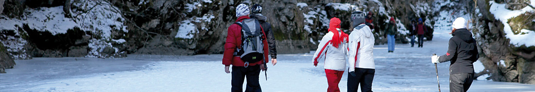
In the territory of national park the visitors are allowed to move by foot only along marked hiking and educational trails and outside of them in the specific places designed for visitors, only during the time from one hour after sunrise until one hour before sunset. In the build-up areas and specific recreation sites within the national park territory: Košiarny briežok, Čingov, Letanovský mlyn, Podlesok, Kláštorisko, Dobšinská Ľadová Jaskyňa, Stratenská píla, Dedinky, Dobšinská Maša, Hrabušice - Píla, Mlynky - Biele Vody, the movement of visitors is allowed also outside of marked hiking trails without any time restriction. Dogs in the national park are allowed only on a lead and with a muzzle. A dog is unable to pass the ladders in the gorges.