

Slovak Paradise is located in the eastern part of the Slovak Republic, in the north of Slovenské rudohorie mountains, where along with Muran plateau it creates the complex of Spišsko-gemerský kras (Spiš-Gemer Karst). In the west it borders Nízke Tatry (Low Tatras) mountains, in the north Hornád basin (Hornádska kotlina.
The national park covers an area of 19 763 hectares, and the size of protected zone of national park is 13 011 hectares.
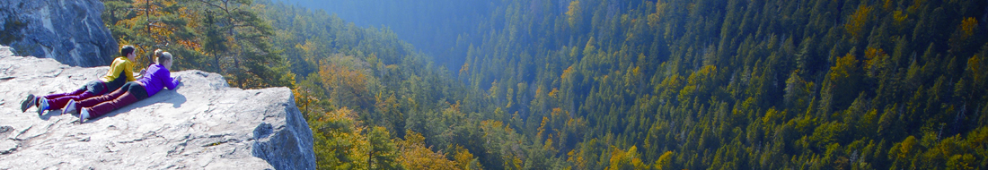
The Slovak Paradise has predominantly the character of a karst plateau. Originally a single plateau is now divided by gorges into several karst plateaus. The most typical are Glac, Geravy, Pelc and Skala. The best preserved and largest one is the Glac plateau in the central part of the Slovak Paradise with an area of more than 3 km2.
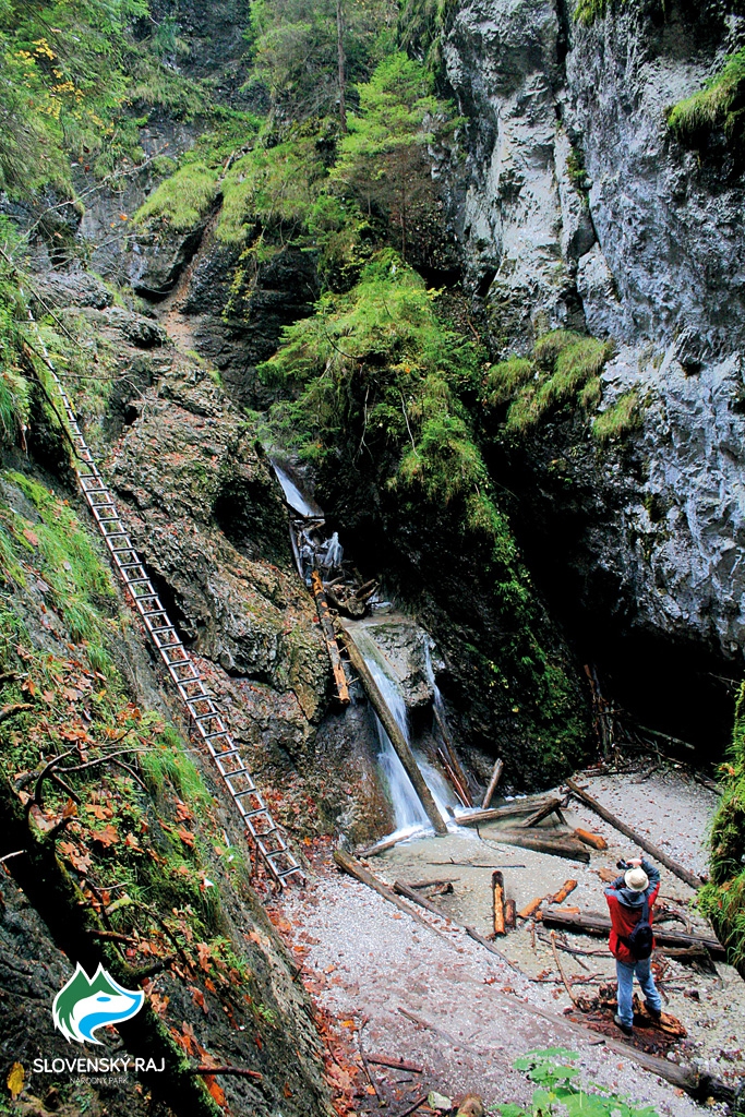
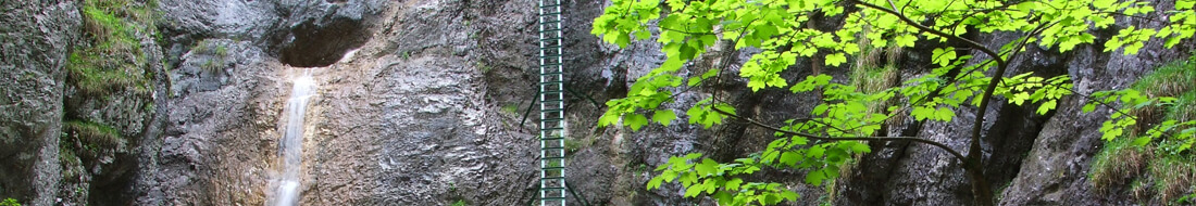
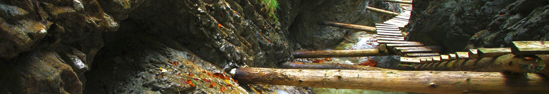
Gorges, formed by brooks flowing from the plateaus, have narrow sections with precipitous cliffs, where the rock protrusions and waterfalls are abundant. Except one, all are located in the northern part of the territory of the National Park. There are canyons cut into the outskirts of the Slovak Paradise – in the north the canyon of the Hornád river, in the south the canyon of the Hnilec river.
The water formed extensive cave systems inside the limestone massif. Out of more than 450 registered caves, ravines and sinkholes there is one unique site inscribed on the UNESCO’s World Natural Heritage List. It is located in Duča cave complex, which consists of the Dobšinská ľadová jaskyňa (Dobšinská Ice Cave),the Stratenská jaskyňa cave and the Psie diery cave with a total length of 21 737 m and a depth of 194 m.